Log in
All resources
Create a design
499 Free Artworks of Europe Old
illustration
book
history
plate
vintage
antique
dibujo
artwork
drawing
historical
maps by john cary
1836 maps
maps by thomas kitchin
1781 maps of europe
atlas maior, vol 2 (sweden, russia, poland, eastern europe, and greece) - joan blaeu, 1667 - bl 114.h(star).2
old maps of macedonia
old maps of milan
antoine aveline
old maps of the nordic region
1840 maps
maps by john cary
1799 maps
atlas minor gerardi mercatoris (1609)
maps of europe by mercator-hondius
grenzkarte der preussischen, russischen und oestreichischen monarchien (1796)
maps of podolia governorate
grenzkarte der preussischen, russischen und oestreichischen monarchien (1796)
old maps of galicia (central europe)
grenzkarte der preussischen, russischen und oestreichischen monarchien (1796)
old maps of galicia (central europe)
historical images of église saint-pierre de montmartre
romanticism
maps by john cary
1799 maps
maps by jean-baptiste bourguignon d'anville
old maps of roman hispania
maps of the ganges river
old maps of bengal
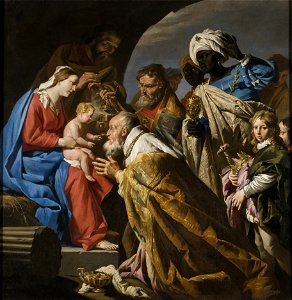
adoration of the magi (stom, stockholm)
the three kings
18th-century maps of the mediterranean sea
1745 maps
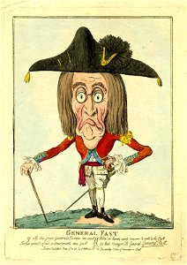
prints by isaac cruikshank in the british museum
satirical prints in the british museum
bibliothèque nationale de france
guillaume sanson
bibliothèque nationale de france
guillaume sanson
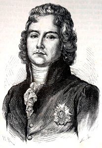
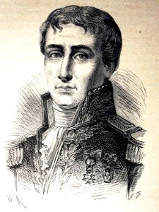
illustration
book
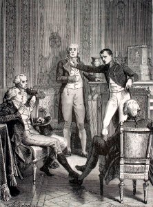
illustration
book
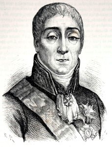
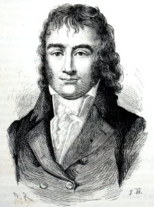
illustration
book
illustration
book
illustration
book
illustration
book
illustration
book
illustration
book
illustration
book
illustration
book
illustration
book
illustration
book
illustration
book
illustration
book
illustration
book
illustration
book
illustration
book
illustration
book
illustration
book
illustration
book
illustration
book
illustration
book
illustration
book
illustration
book
illustration
book
illustration
book
illustration
book
illustration
book
illustration
book
illustration
book
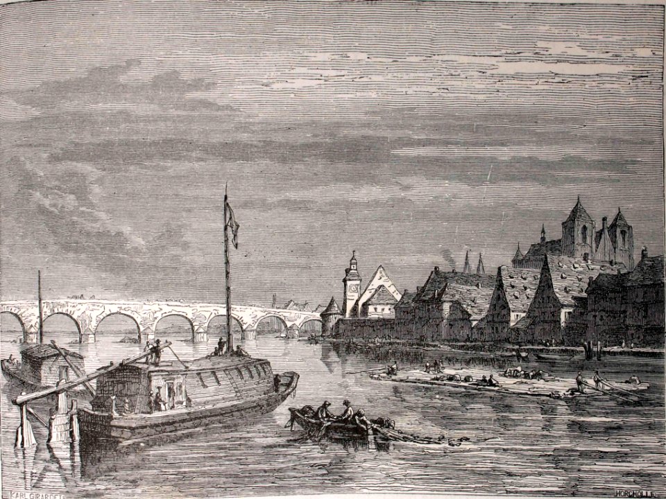
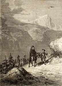
illustration
landscape
illustration
book
illustration
book
illustration
book
illustration
book
illustration
book
illustration
book
illustration
book
illustration
book
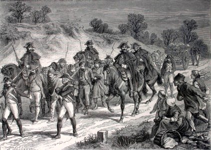
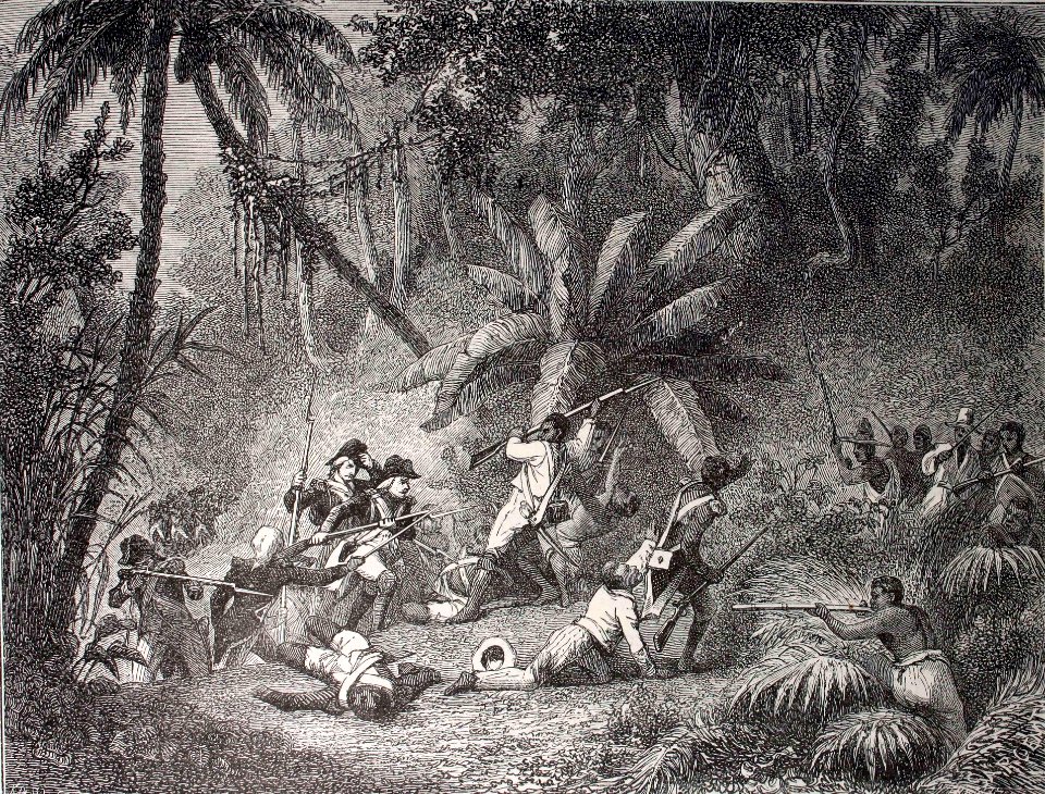
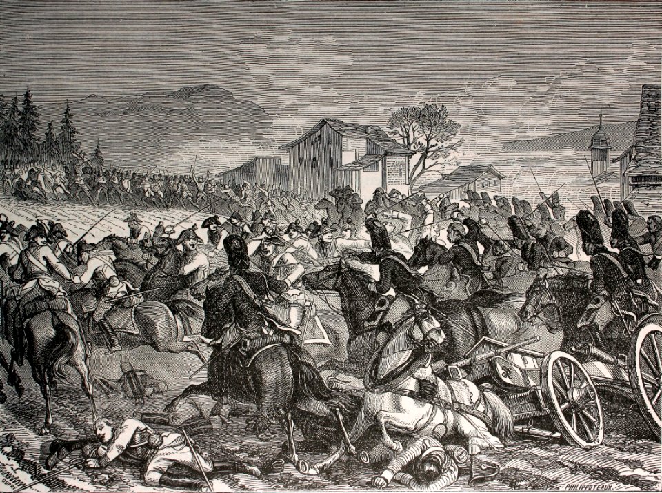
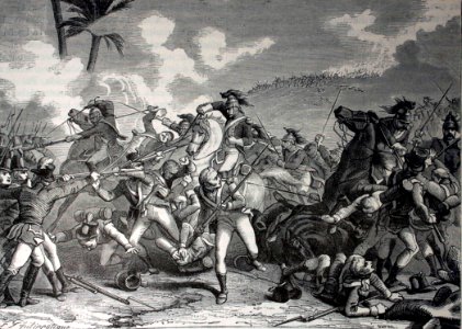
illustration
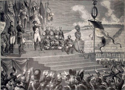
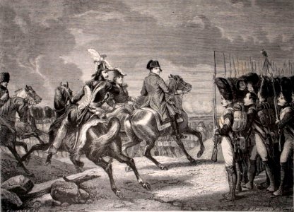
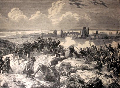
army
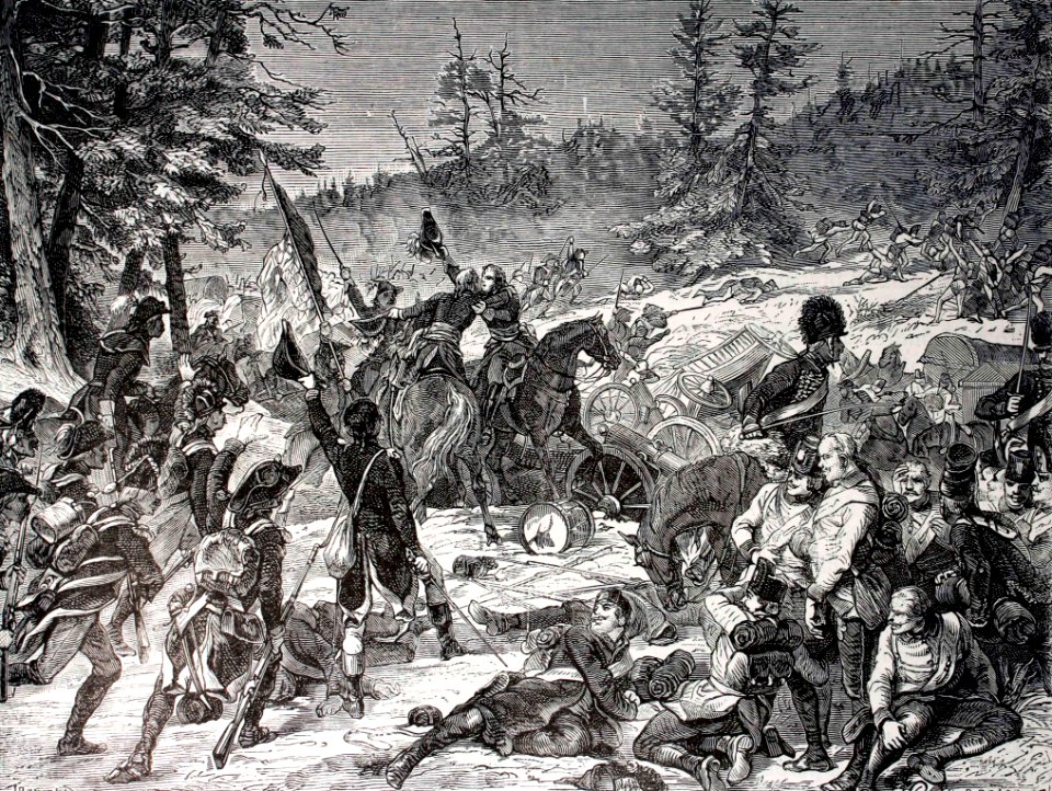
illustration
army
illustration
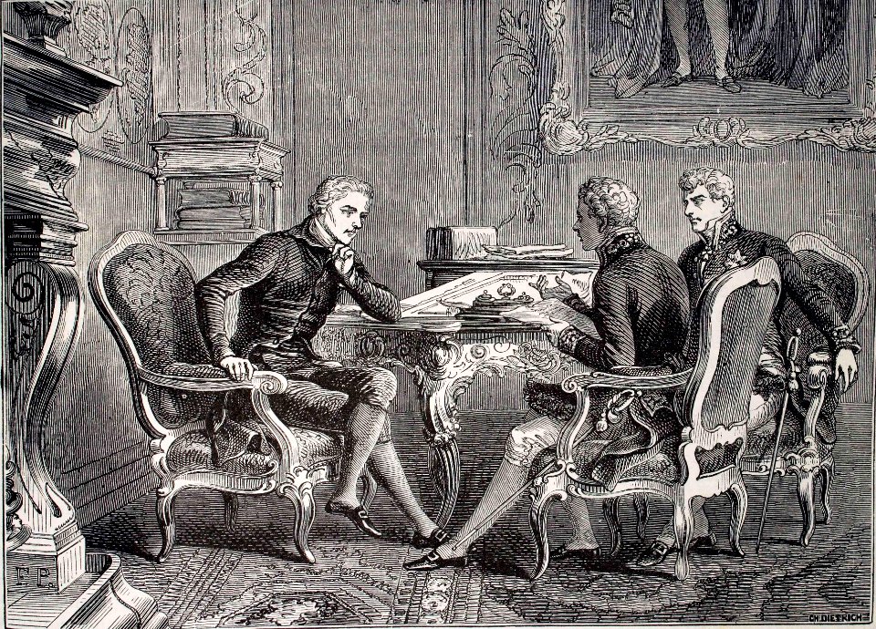
book
illustration
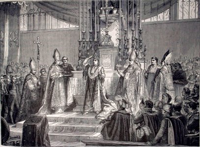
book
illustration
book
illustration
book
illustration
book
illustration
book
illustration
book
illustration
book
illustration
book
illustration
book
illustration
book
illustration
book
illustration
book
illustration
book
illustration
book
bibliothèque nationale de france
guillaume sanson
maps by john cary
1799 maps
maps by john cary
1799 maps
illustration
book
illustration
book
illustration
book
illustration
book
illustration
book
illustration
book
illustration
book
illustration
book
illustration
book
illustration
book
illustration
book
illustration
book
illustration
book
illustration
book
illustration
book
illustration
book
illustration
book
illustration
book
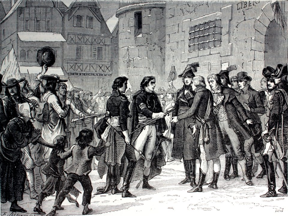
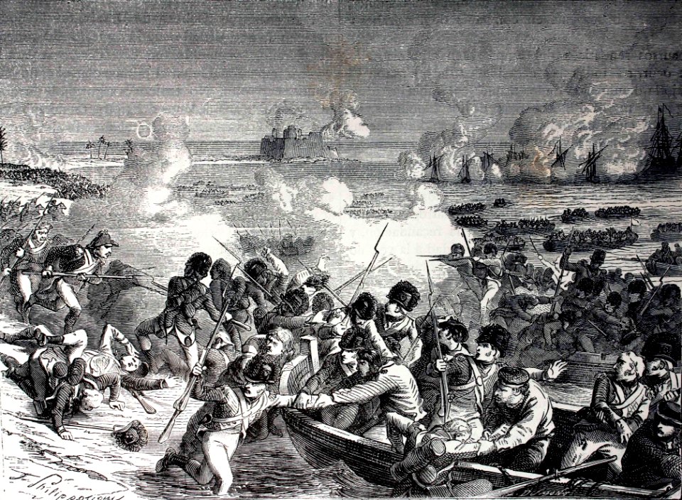
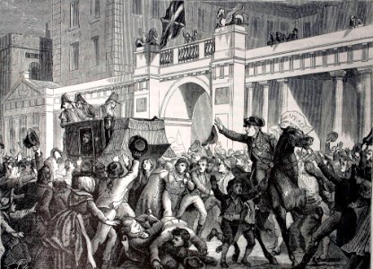
illustration
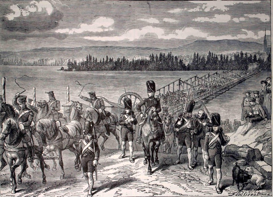
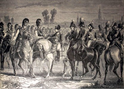
army
illustration
book
illustration
book
illustration
book
201 - 300 of 499
Next page
/ 5